
Stanage Edge - Peak District Walk
Tuesday 15th December 2020
With Derbyshire in Tier 3 it was suprising how many walks I couldn't do in the Peak District because I would find myself venturing out of the county. When you also take into consideration the very wet weather recently and the time of year for light my choice of destinations, if I wanted to stay legal and avoid a mudfest, was limited. In the end I opted for Stanage Edge and despite the fact it was mid-week in December the car park was busier than I have ever seen it and I had to park on the road, which is a first. For the first time this year I was also walking alone, another sign of how weird 2020 has been.
Start: Dennis Knoll car park (SK 2277 8434)
Route: Dennis Knoll car park - Long Causeway - Stanage Edge - High Neb (TP) - Stanage End - Crow Chin - Dennis Knoll car park
Distance: 5.5 miles Ascent: 219 metres Time Taken: 2 hrs 50 mins
Terrain: Obvious paths but very muddy on the top of Stanage Edge
Weather: Cloudy to start, brightening up as the day progressed, with a strong breeze on Stanage Edge.
Pub Visited: Tier 3 Ale Drunk: Banned
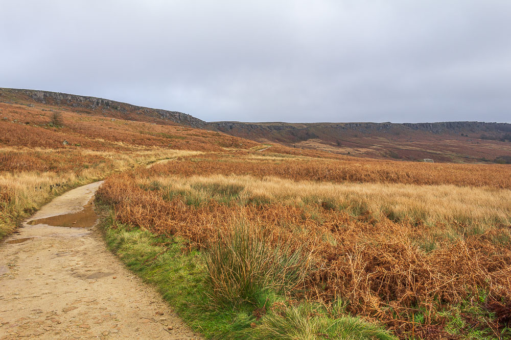
Heading along the Long Causeway I couldn't but help notice all the people walking along the top of Stanage Edge.
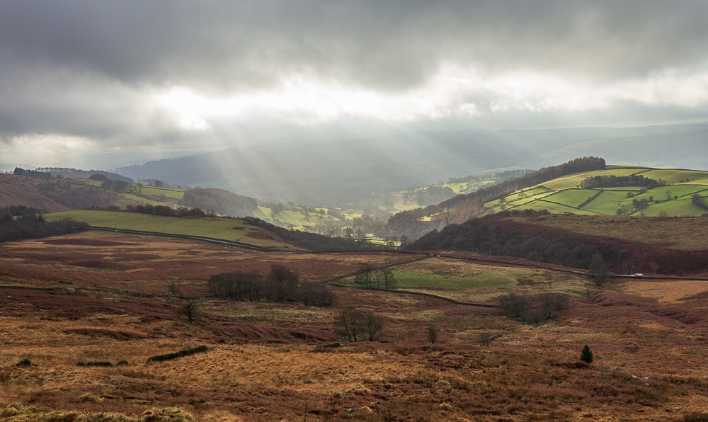
Looking across the moor towards Hathersage and some sunrays break through the grey cloud. There is some hope the weather may improve then.
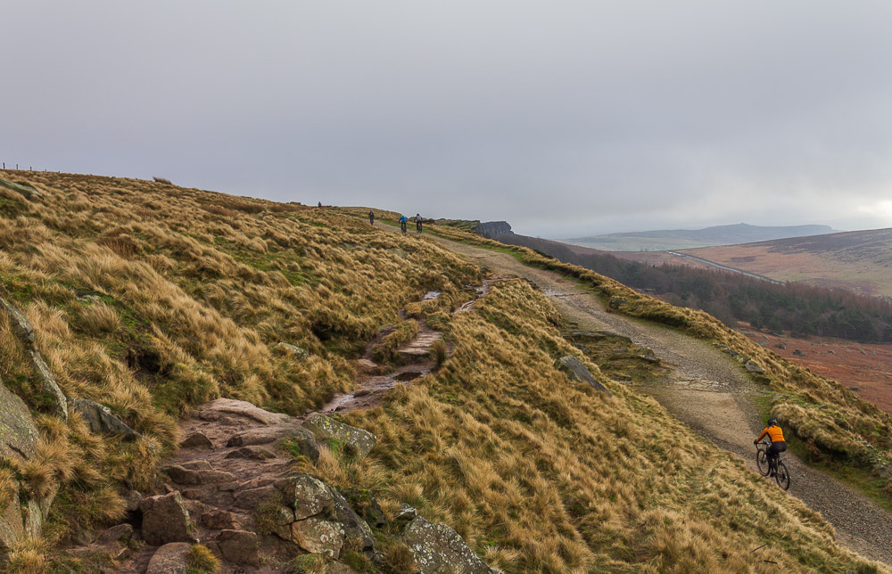
As I approach the top of the Long Causeway and turn onto the path which will take me along Stanage Edge some cyclists pass below me. It always looks to me like it would be much easier to push the bikes up the hills than cycle up them.
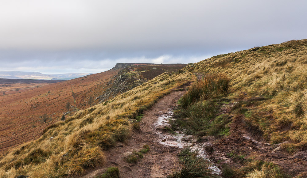
I have timed my arrival at the edge well, so thankfully I wont be walking on top of the other groups of people who are up here today.
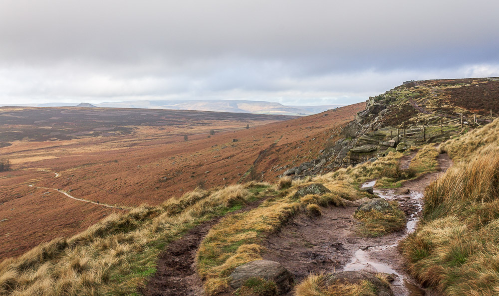
Looking across Bamford and Moscar Moors to Win Hill and Kinder.
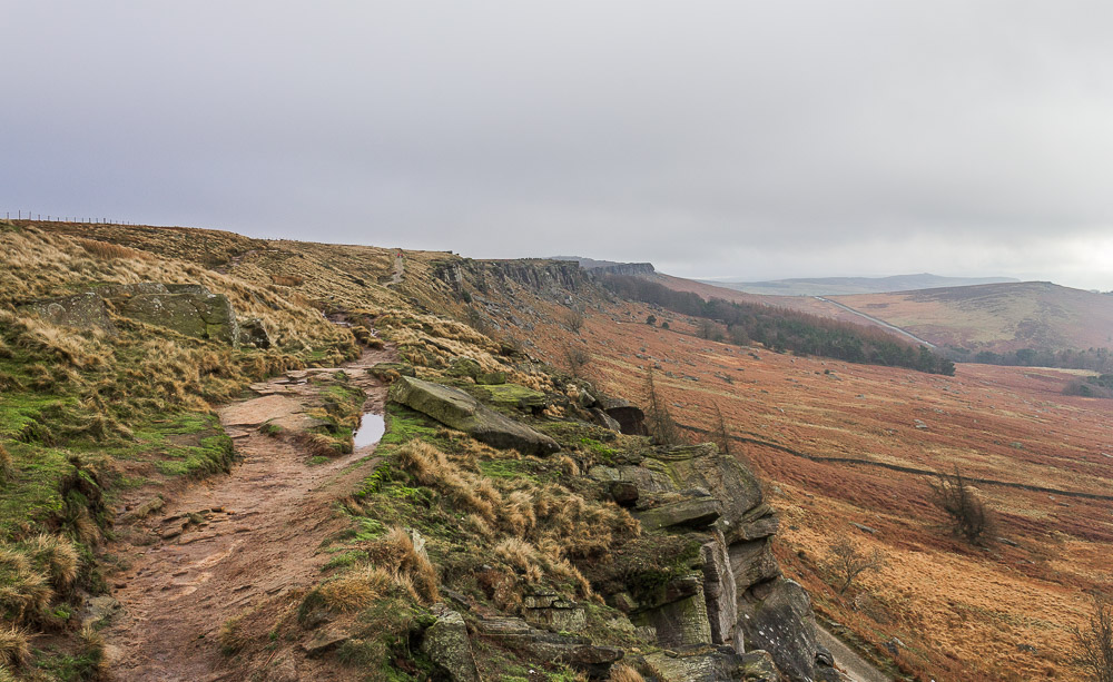
Looking back along Stanage Edge towards Cattis-side Moor and it is starting to look a bit grey again.
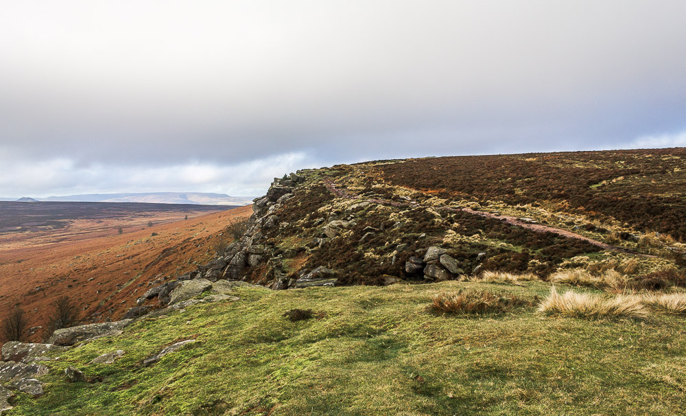
In the opposite direction the distant view over Kinder suggests that things might be about to improve.
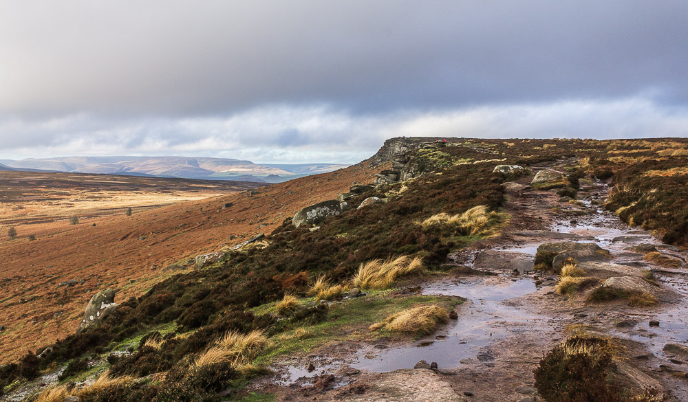
As I continue along the edge towards High Neb sunshine starts to appear on a distant Kinder Scout.
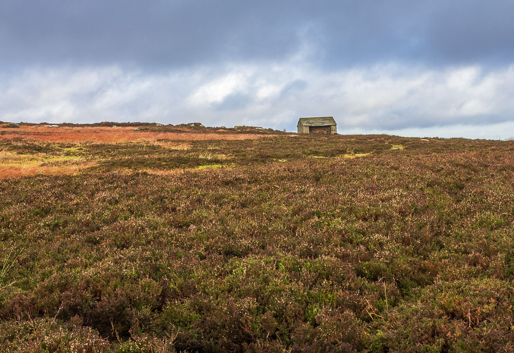
This hut always tells me I am close to the summit and trig point on High Neb and probably also marks the line of the county boundary between Derbyshire and Yorkshire. I'm currently still in Derbyshire but pretty soon I'll be walking along the actual boundary.
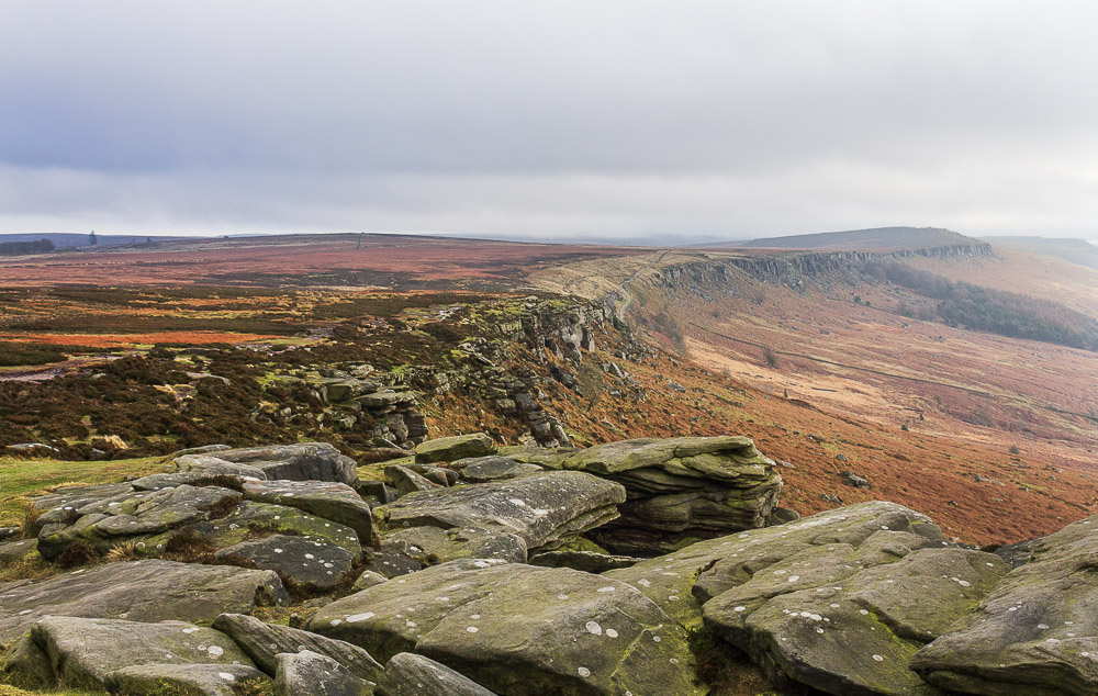
Looking back along Stanage Edge as I approach High Neb.
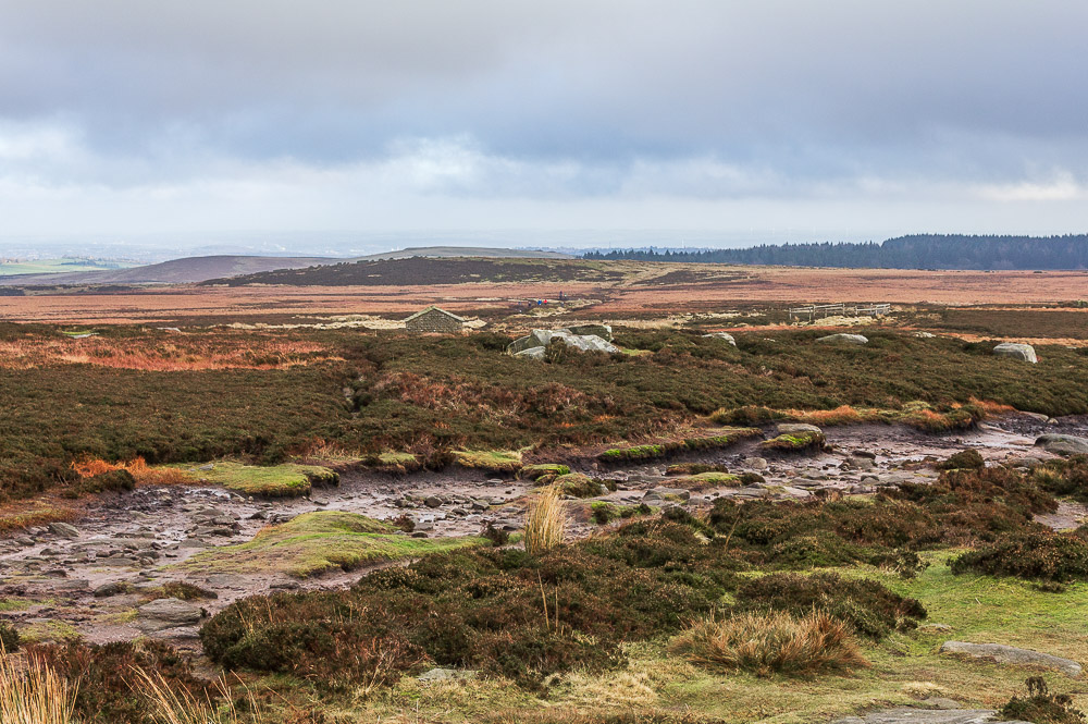
Looking into the forbidden terrain of Yorkshire I spot a group of people following what I assume is the line of the grouse butts. I've never seen anyone walking along here before and can't but wonder if it is a new path that has been created by all the people walking in this area over recent months.
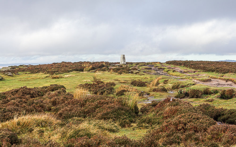
The trig point on High Neb comes into sight.
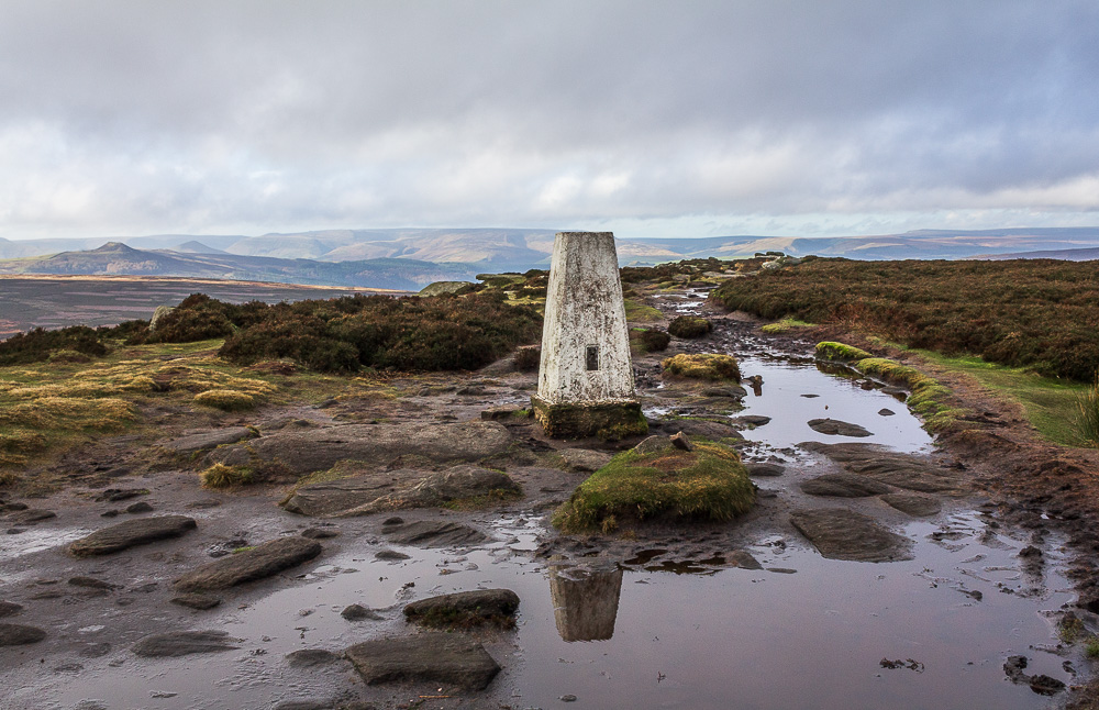
I don't recall there ever being so much water around the trig before that I could take some shots of the trig reflected in the puddles. If I was a more dedicated photographer I'd have got down on my knees in the mud and got more of a reflection, I'm not that way inclined today.
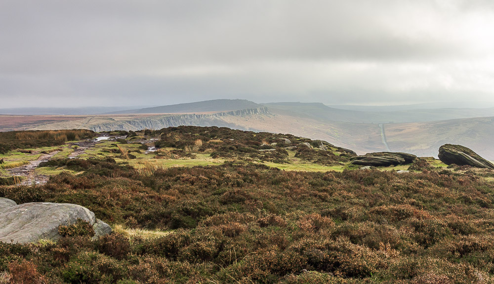
Looking back along Stanage Edge with Higger Tor now in view. It still looks rather grey in that direction.
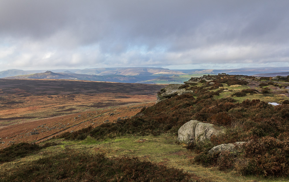
Thankfully looking in the opposite direction the promised blue skies are starting to make an appearance.
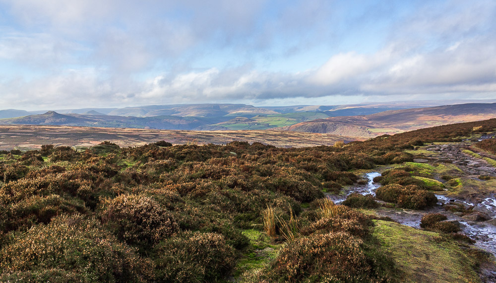
Once High Neb is reached the view changes to now include Derwent Edge and the view across the hidden Ladybower Reservoir to Bleaklow.
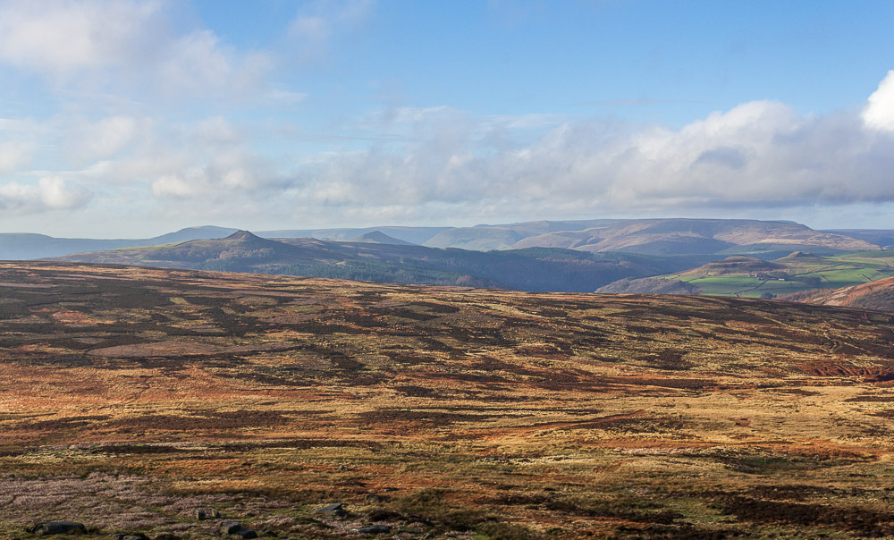
Looking across Moscar Moor from the edge the two summits of Crook Hill are now visible.
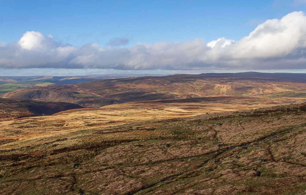
Looking along Derwent Edge I can just make out the Wheel Stones, hopefully I will be getting a much clearer view of them in the next few weeks.
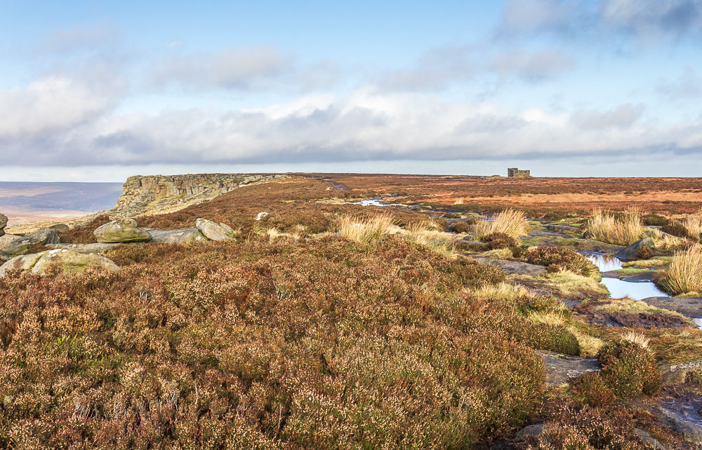
I had planned on finding a spot somewhere around Crow Chin for my lunch but there was a photographer set up with his tripod at Crow Chin and other walkers were also sat close by so I carried on along the edge looking for a dry spot out of the wind.
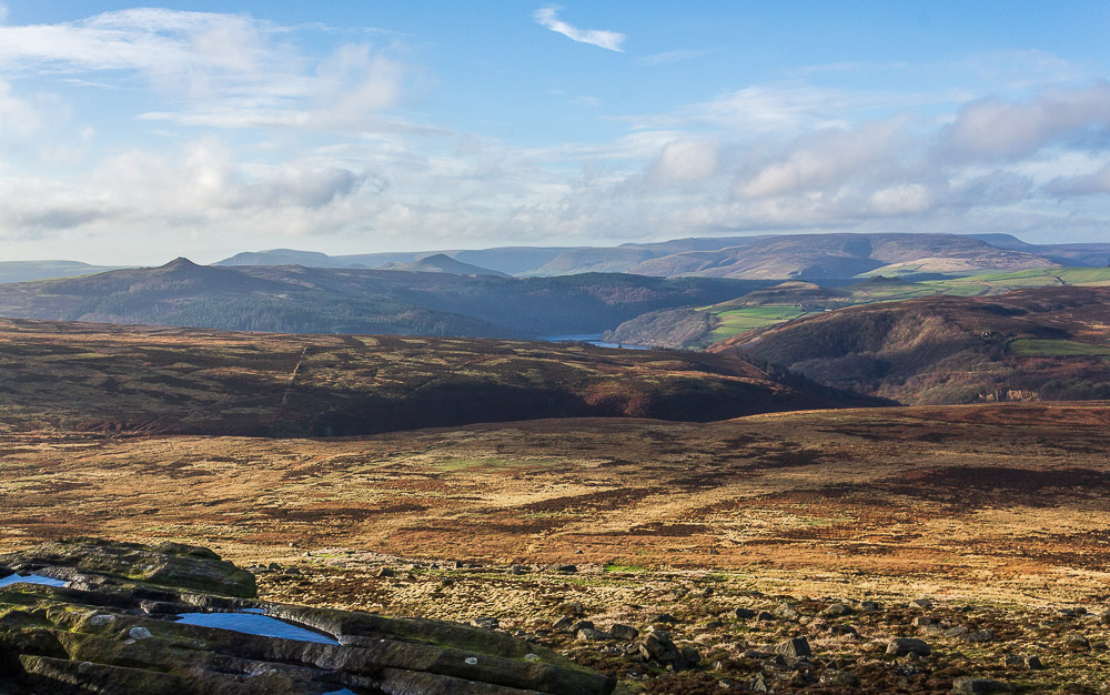
I soon found myself at Stanage End, looking over Jarvis Clough to Ladybower Reservoir.
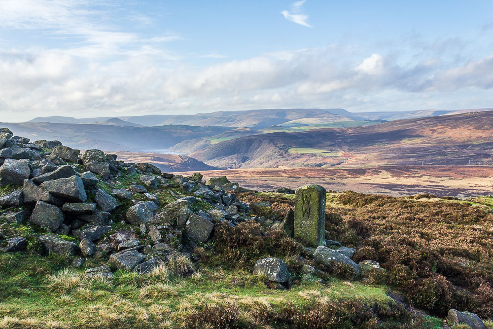
Having reached the point at which I needed to leave the edge without finding a suitably sheltered spot I opted for lunch below the edge with a view of Ladybower and Derwent Edge instead.
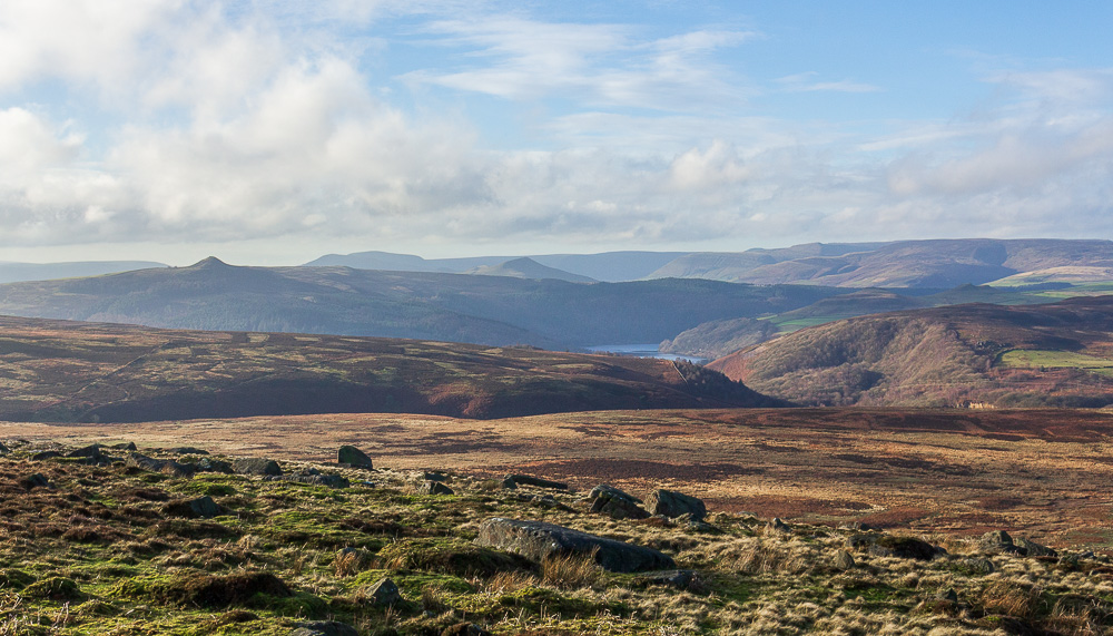
Even below the edge, in a relatively sheltered spot, my fingers were soon feeling blue thanks to the cold edge to the wind. The view more than made up for it though.
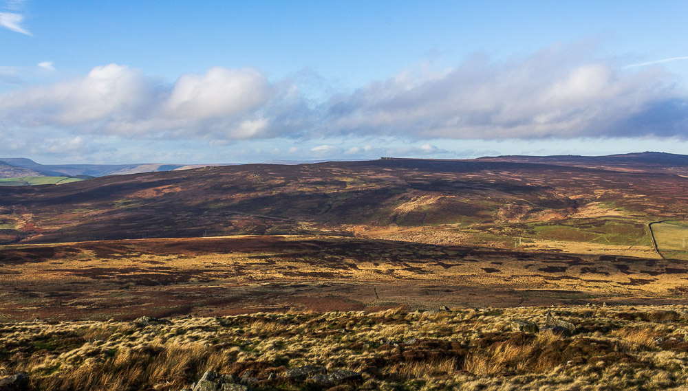
As I sat eating my sandwiches my view of Derwent Edge also enabled me to pick out the distant Cakes of Bread.

Heading back under the edge I couldn't help but notice how obvious the path was, usually when I'm here it disappears under all the ferns.
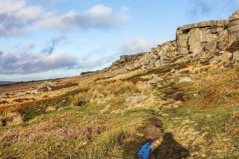
Suprisingly there were no climbers on Crow Chin.
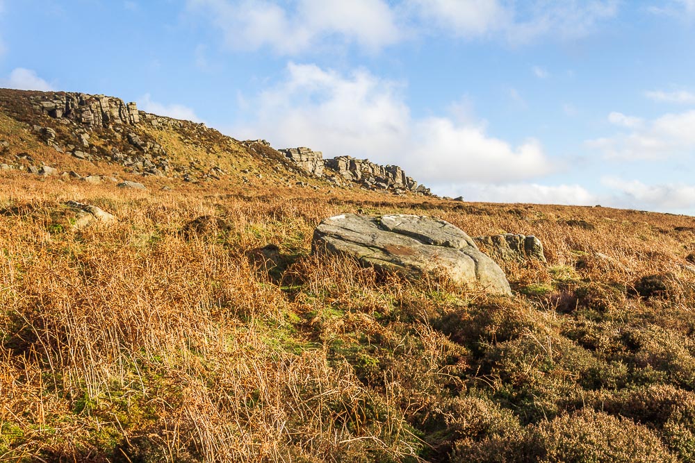
The blue sky has finally reached Stanage Edge.
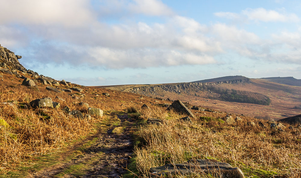
Before I know it Higger Tor is back in view, the speed of my return leg takes me by surprise, I had expected the ground to be much wetter, especially after all the bog-hopping I had done on the edge itself.
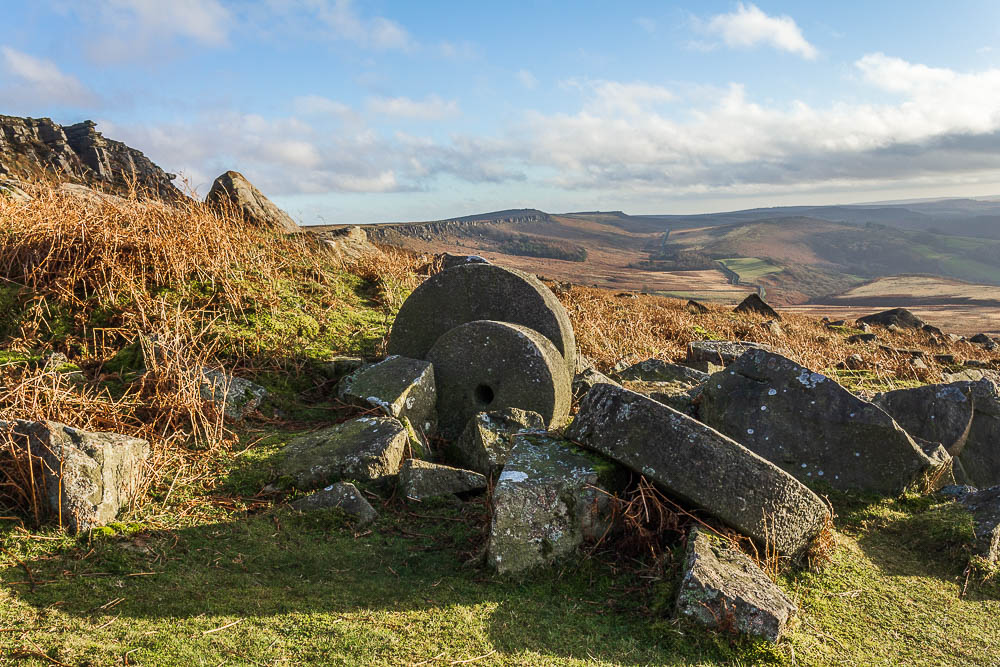
I soon reach the millstones and for once the light is catching both them and the edge in the background.
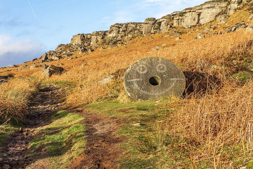
There is no way I can walk past this millstone without taking its picture. It is also a good marker for the path down to the car park.
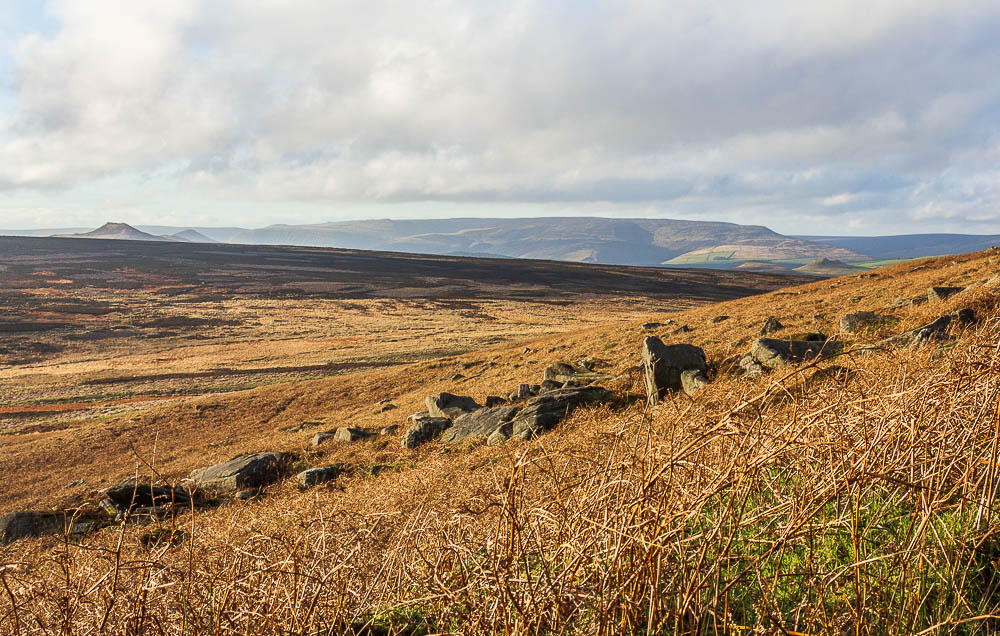
A final look across Bamford Moor to Win Hill and Kinder before I head down to the car park.
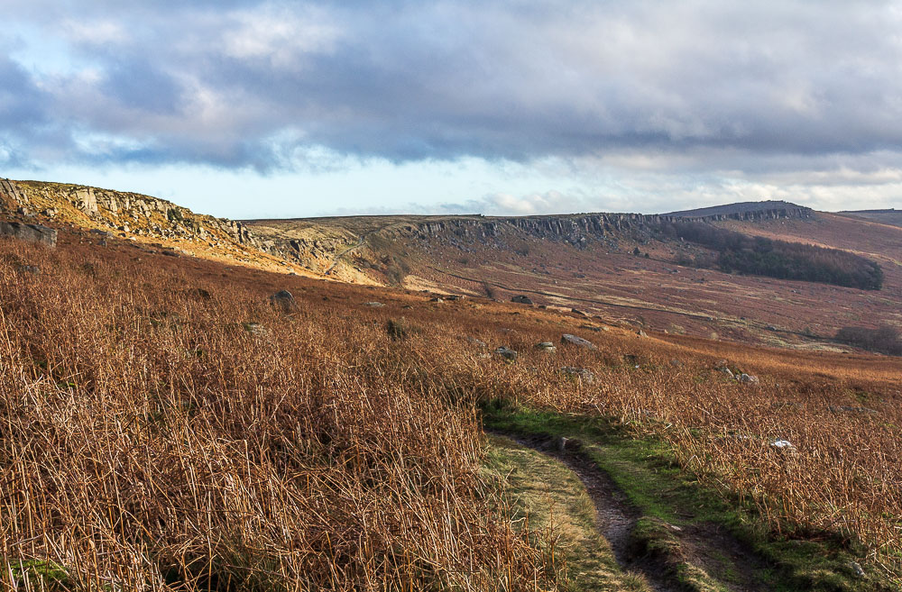
It looks like I have had the best of the good weather as the cloud is starting to build up again over Stanage Edge.
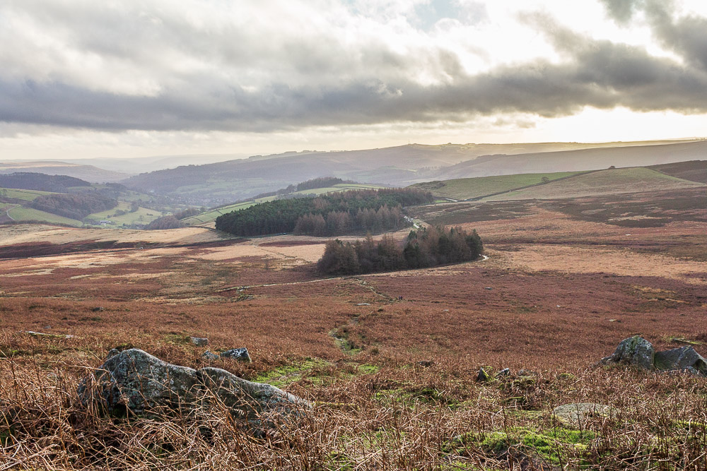
For once the path down to the car park is nice and clear and there will be no battles with ferns trying to trip me up.
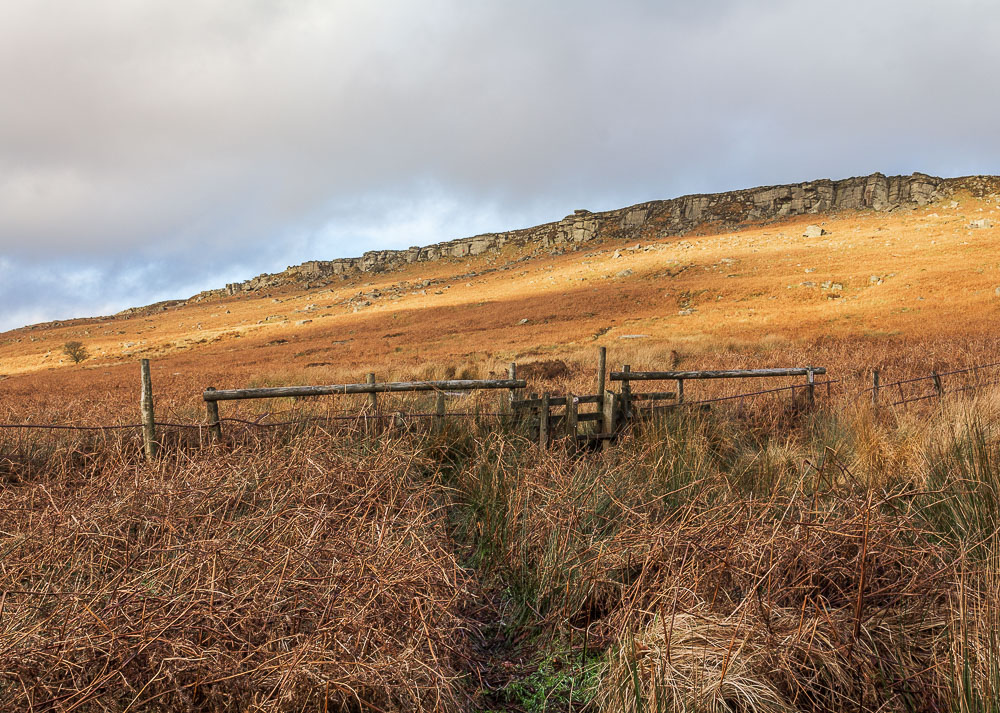
A final look back to Stanage Edge, after I had negotiated the stile which is fast disappearing into the boggy water that surrounds it.
All pictures copyright © Peak Walker 2006-2023